Map skills north america interactive whiteboard software
Map skills north america interactive whiteboard software
The Map Skills interactive whiteboard series introduces Grade 6-8 students to our world — a world they can explore with the touch of a finger!
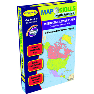
Map Skills: North America provides a detailed overview of the United States, Canada, Mexico and Middle America. Fifteen lesson plans explore topics such as population density, physical features, and landmarks. Fifteen fully interactive maps and 46 activities teach and reinforce skills ranging from geography to social studies to science. A wide variety of full-color maps by Rand McNally portray important map skills and distinctive features, from latitude, longitude, and cardinal directions to countries, climate, and natural resources. Each map can be manipulated in real-time — touch a country to see photographs, video, or statistics; calculate the coordinates of a country's capital by pointing to its location; explore an ocean's depths by tapping it with a digital pen — the powers of exploration and discovery are the students' to wield.
Approximately 75 slides for use on IWBs, projectors, tablets, slates, PC & MAC
| Grade: | 6th - 8th grades |
|---|---|
| Age: | 11 - 13 years |
| Brand: | Lorenz corporation / milliken |
Reviews / Write review
Be the first to review this product!